What is Qurna in the sky?
From the hillside to the sky
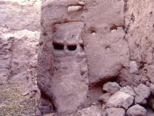
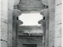
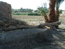
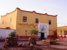
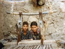
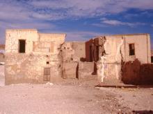
Qurna is the name of an area on the west bank at Luxor, Egypt, in the world cultural heritage site of the Theban Necropolis. Along a stretch of hillside running about 3 kilometres from south to north there was a collection of hamlets mainly arranged in family groups. The houses were built along the lower slopes of the Theban hills, where there are tombs of many periods. The authorities saw the residents and their houses as a danger to the tombs and monuments, and for decades there were plans to relocate the people. From 2006 to 2009 nearly all the houses on the hillside were demolished – even though some of them were over 100 years old and thus covered by laws to preserve them. No programme of recording was done before the bulldozers moved in. The built heritage of the Qurnawi meant nothing to the authorities.
If you would like to learn about various Qurna exhibition projects on the hillside before 2010, and read articles on its history and see additional photos do look at www.qurna.org
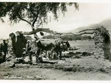
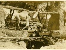
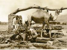
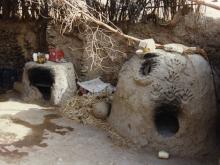
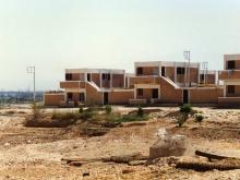
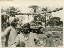
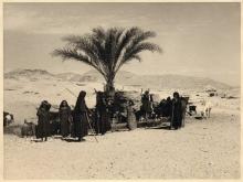
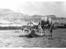
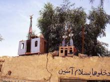
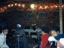
Qurna in the sky is a small attempt to give their heritage back to the Qurnawi who now live in new settlements to the north. Most of the photos on this website were taken between 1997 and 2001 by Caroline Simpson, an English woman who went often to Qurna, and who took the photos just for her own interest. Some of the photos here are old postcards which show local life about 100 years ago. Some of Caroline's are collected here by theme such as 'crafts' or 'religion and spiritual', but the majority are of the houses.
How to find your way in Qurna in the sky
The house photos are divided into their local geographical and community areas. The names of the house owners have been entered in a spreadsheet in English and in Arabic. You can search for an area name, or for the name of a house-owner. If your parents or grandparents lived there, you can find your family house.
It was a very lovely and special place, so even if you never went there you can discover it here. Qurna has been destroyed on the hillside, but this is an attempt to make it live again 'in the sky'.
Thank you to Mohamed Ali Mansour and Mahmoud Hashash for the identification of the houses.